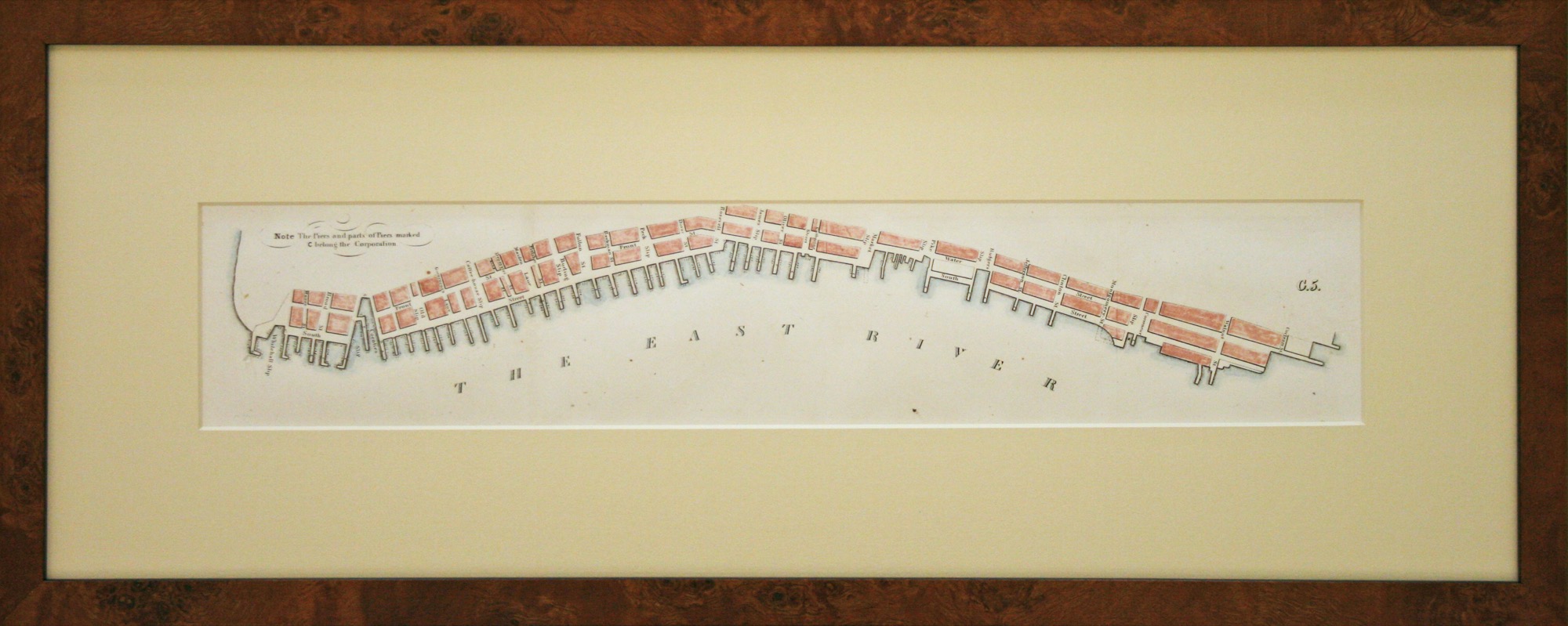
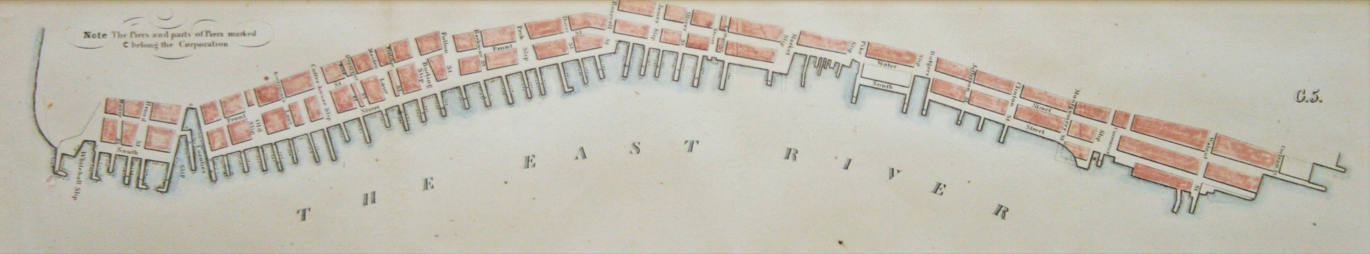
This original map of the The East River Piers, dated 1869, was published by the Government Printing Office and shows the piers along the East River from Montgomery Street/Corlears Hook Park to Whitehall Street. The map is tinted and in good condition. The framing is done to conservation standards with an attractive burl wood frame.